
Scope of Project
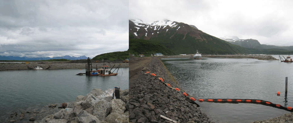
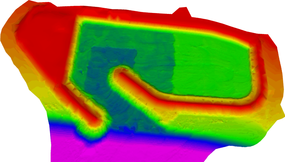
In 2010 Hughes & Associates conducted multiple hydrographic surveys for the construction of the new harbor in Chignik Alaska. This project actually required both single beam and multibeam surveys during different stages of the construction. Due to construction delays and complications, the surveys conducted specifically for the dredging clearance verification and volume computations were accomplished with through the use of single beam techniques. After the dredging and construction was completed the U.S. Corps of Engineers requested we complete a full condition survey of the final product utilizing a multibeam echosounder, breakwater and uplands profile topography, and a survey control verification. All conventional land surveying procedures were completed through the use of the company’s standard RTK GPS techniques. All bathymetric data was collected using a local vessel of opportunity and Hughes & Associates custom built adjustable mobile sonar mount which allowed for simple yet precise installation of either echosounder.
About the Harbor
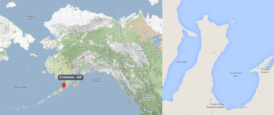
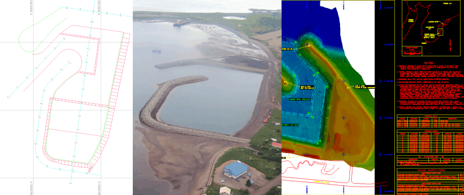
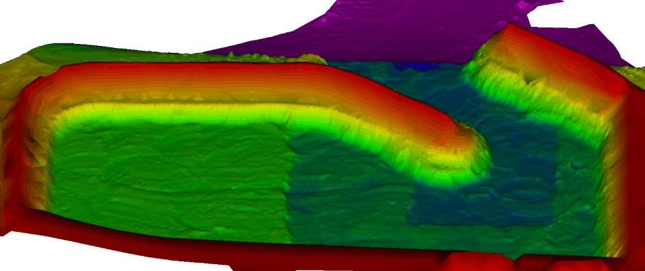
Chignik Alaska is located on the Alaskan Peninsula at the southern end of Chignik Bay approximately 450 air miles southwest of Anchorage. Chignik Harbor is located 1.5 miles north of the city center on the eastern side of Chignik Bay and just south of the landing strip. Chignik Harbor is approximately 1,000 feet north to south and 600 feet east to west. There are two breakwaters that surround the harbor. The main breakwater is approximately 1,100 feet long and defines the southern and western edges of the harbor. The main breakwater also defines the eastern side of the entrance channel. The second and smaller breakwater is approximately 300 feet long and defines the northwest area of the harbor and entrance channel. Chignik Harbor is divided into three separate areas based on different dredge depths. The first area includes the entrance channel and a small part of the main harbor area with a project depth of -19.5 feet from Mean Lower Low Water (MLLW). The second area is includes the northern half of the harbor, excluding the area associated with the entrance channel, and has a project depth of -16.5 feet MLLW. The third area of the harbor includes the entire southern half of the harbor with a depth of -12.0 MLLW.