
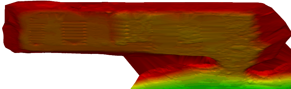
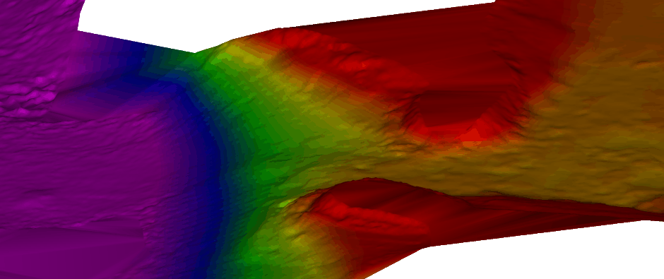
Scope of Project
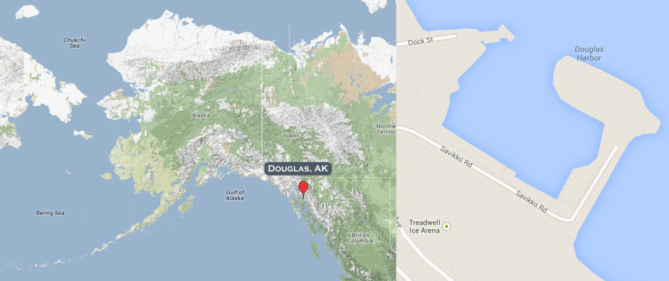
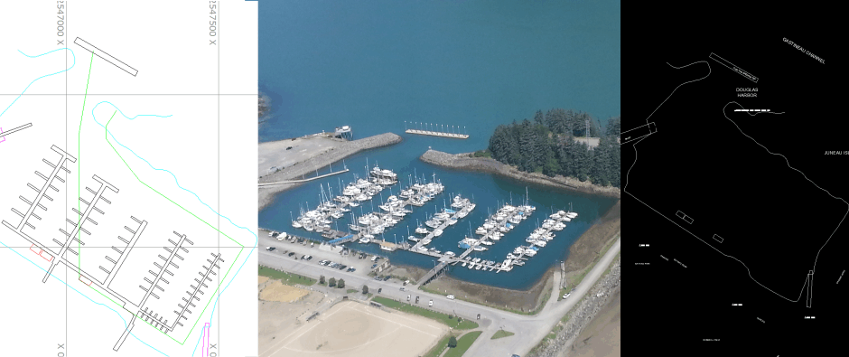
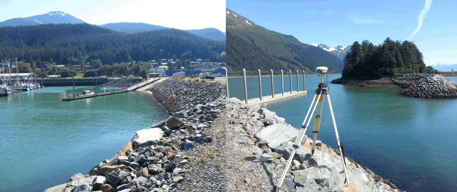
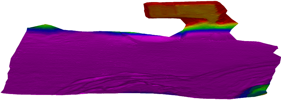
In the Spring of 2013 Hughes & Associates was tasked by the U.S. Army Corps of Engineers, Alaska District to conduct a topographic, hydrographic, and control survey for Douglas Harbor. Douglas Harbor is located on Douglas Island in the city of Juneau in Southeast Alaska. Douglas Harbor is approximately 570 miles southwest of Anchorage and 2 miles southeast of downtown Juneau. Douglas Harbor is approximately 1,100 feet running southeast to northwest and extends 700 feet from shoreline with a project depths of -12.0 feet Mean Lower Low Water (MLLW). The project required a complete vertical control update, horizontal control verification, and topographic and hydrographic surveys of the project limits. The horizontal control verification was accomplished through GPS RTK observations. Bathymetric data was collected using a multibeam echosounder and topographic data was collected using RTK GPS.
About the Harbor
Douglas Harbor is located directly across the Gastineau Channel from downtown Juneau and adjacent to Savikko Park and Sandy Beach. A bus stop is located near the Harbor and is a short ride to Downtown Juneau. Downtown Juneau has grocery stores, restaurants, shopping, coffee shops with wifi, a library with public computers, a post office, and public transportation. Douglas has 190 slips; many slips have water and electricity (20 amp, 30 amp, or 50 amp).