
Scope of Project
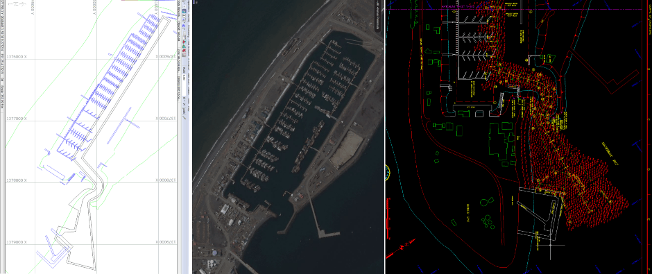
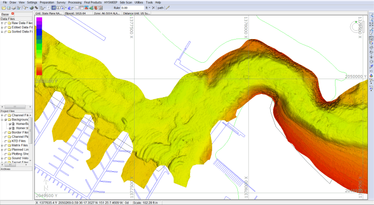
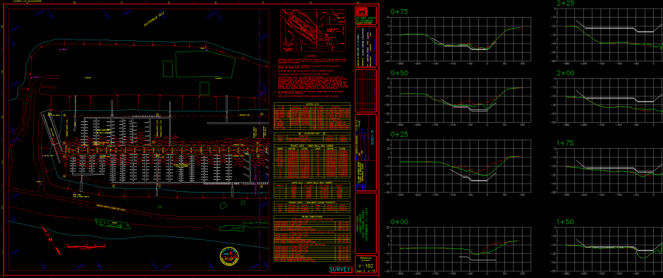
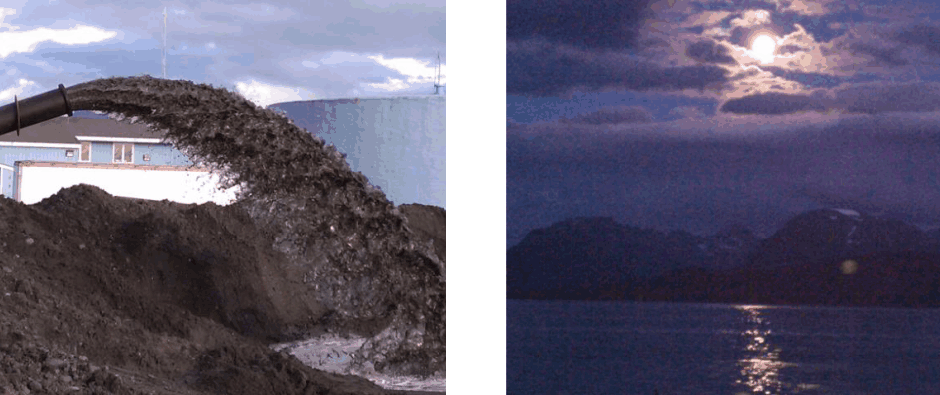
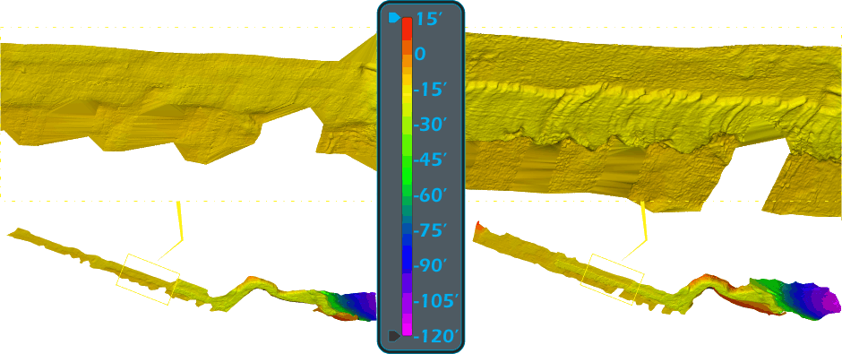
Homer harbor along with the U.S. Coast Guard dock are dredged every September. Pre and post dredge surveys are conducted in support of the dredging operations at the request of the contractor. All surveys performed for this project are completed with the use of a R2Sonic 2022, 160° multibeam echosounder and Applanix POS M/V RTK IMU installed on the company’s 26 foot Hewescraft survey vessel. Approximately 10,000 cubic yards of material are removed from the harbor and Coast Guard Dock annually.
About the Harbor
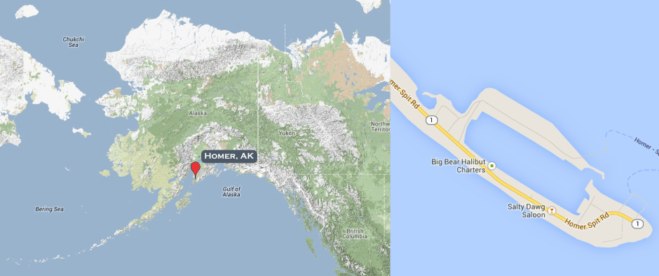
Homer Harbor is located on the Homer Spit 220 miles south of Anchorage on the Kenai Peninsula and one of the few places accessible through the road system where Hughes & Associates regularly conducts surveys . Homer Harbor is approximately 3,000 feet long by 900 feet wide with the entrance channel located in the northeast corner. 700 charter and commercial boats operate year round out of the harbor but grows to 1,500 during the summer months.