
Scope of Project
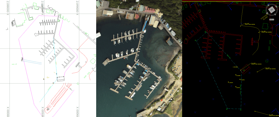
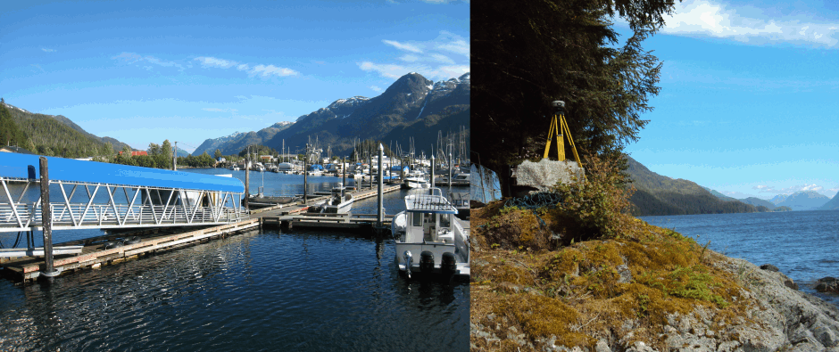
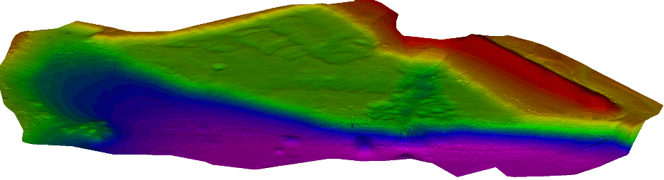
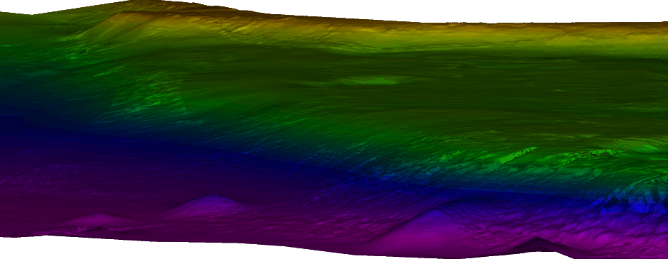
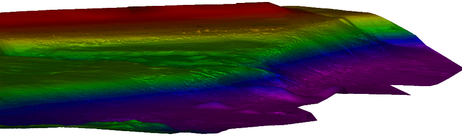
During the summer of 2011 the Corps of Engineers through the Indefinite Term Contract requested Hughes & Associates to perform a multibeam hydrographic survey of the Pelican Small Boat Harbor in Pelican, Alaska. Pelican Harbor was surveyed along with multiple other sites between July and September of 2011. The survey required full multibeam bathymetric data coverage along with topographic profiling of the surrounding uplands and a complete vertical and horizontal control update. Hydrographic data was collected with an Odom ES3-M multibeam echosounder with an integrated MRU. Horizontal and vertical control update was accomplished through the use of Trimble GPS receivers and a Trimble digital level.
About the Harbor
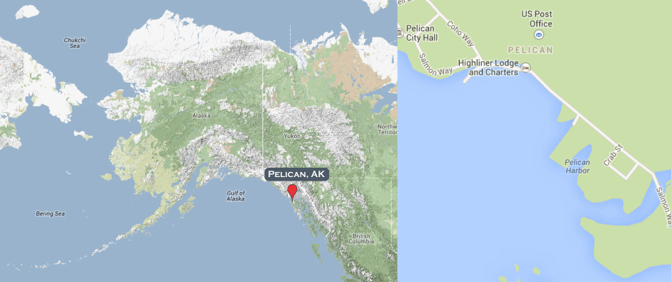
Pelican Small Boat Harbor in Pelican, Alaska, is located in Southeast Alaska on the northwest side of Chichagof Island, approximately 530 miles southeast from Anchorage, 17.0 miles southeast of Elfin Cove, and 13.5 miles into Lisianski Inlet from Cross Sound. Pelican Harbor is adjacent to the town of Pelican which surrounds the harbor on three sides. The harbor is created by the natural topography of Chichagof Island and a single 500 foot long breakwater. The breakwater extends from the island on the south side of the harbor and runs northeast to southwest.