
Scope of Project
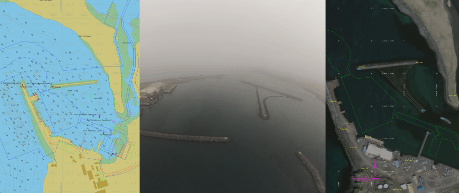
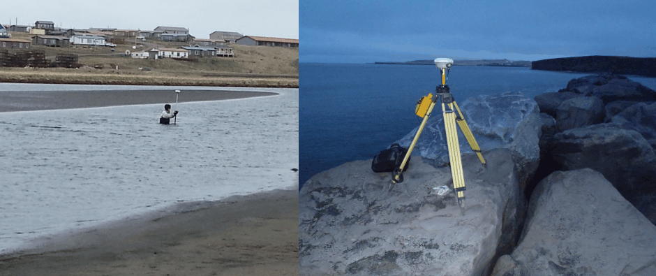
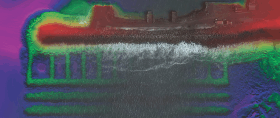
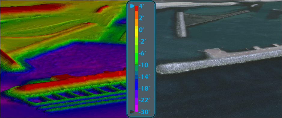
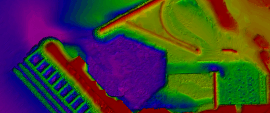
In the fall of 2013 Hughes & Associates was tasked by the U.S. Army Corps of Engineers, Alaska District to conduct a topographic, hydrographic, and control survey for St. Paul Harbor during the summer of 2014. The project required a complete vertical control update, horizontal control verification, and topographic and hydrographic surveys of the project limits. All bathymetric soundings were collected using an R2Sonic 2022 multibeam sounder and an integrated Applanix Wavemaster POS MV IMU provided positioning and motion.
About the Harbor
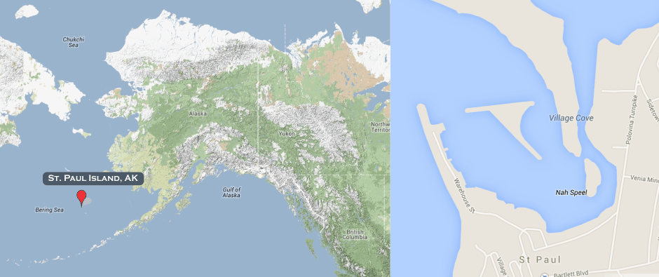
St. Paul Harbor is located in the city of St. Paul on St. Paul Island in the Bearing Sea. St. Paul Harbor is approximately 770 miles southwest of Anchorage and 265 miles northwest of Dutch Harbor. St. Paul Harbor lies north of the city of St. Paul and defines the northern edge of the city and is a significant feature of the immediate area. St. Paul Harbor is approximately 1,700 feet east to west and 1,700 north to south.