

Scope of Project
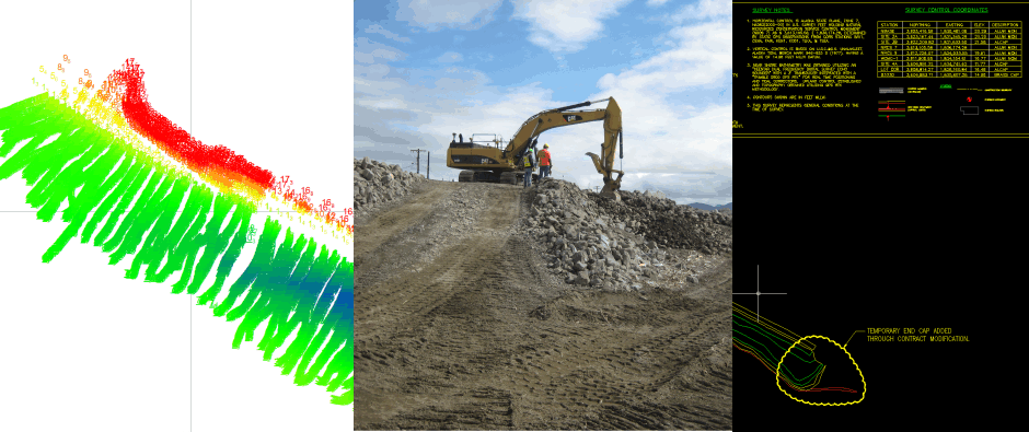
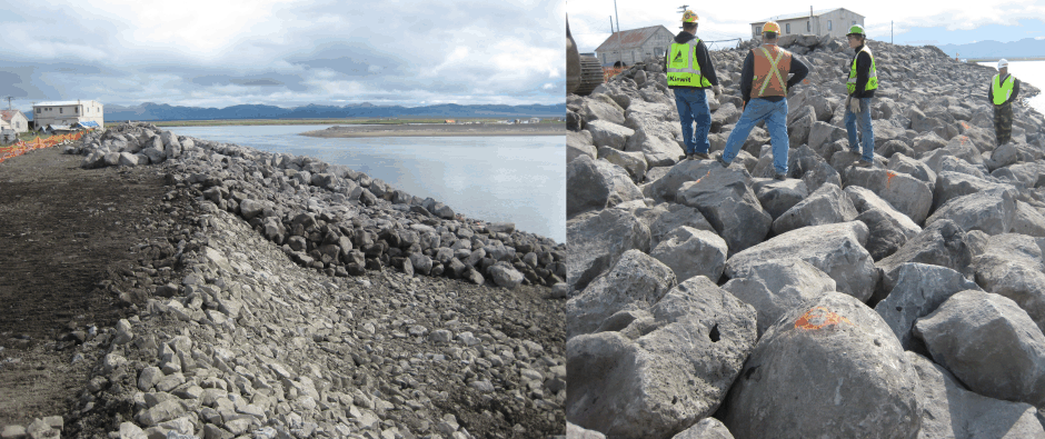
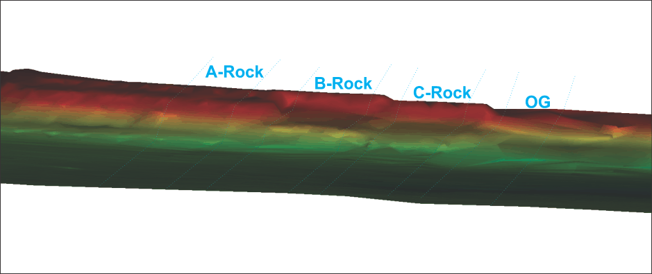
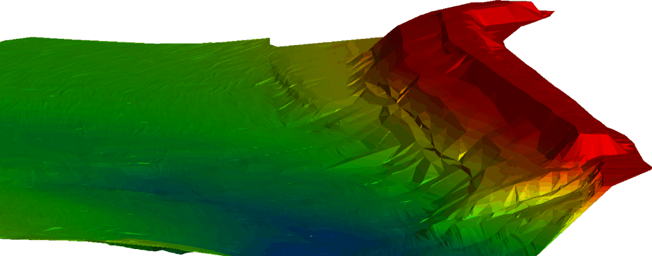
During the summer of 2010 Hughes & Associates was contracted by Kiewit to provide the hydrographic and topographic surveys of the bank stabilization project in Unalakleet, Alaska. The project required the contractor to lay approximately 1000 feet of Core Rock, B Rock, and Armor Rock along the banks and shore line of where the Unalakleet River meets Norton Sounds. The rock was laid in three successive layers that built one on top of the other. Due to weather and contractual constraints all three layers had to be places simultaneously which required 10 weeks of daily surveys. Each rock layer was surveyed both above and below water line to ensure they met the required depth tolerances specified in the contract before the contractor was allowed place the next layer of rock. Hydrographic surveys were performed using a Reson 210 single beam echosounder with RTK GPS provided positioning on the contractor’s provided vessel of opportunity. Upland topographic surveys were accomplished with the use of Trimble RTK GPS rovers. Daily data collection was compiled on-site into an edited AutoCAD Civil 3D format clearly outlining the location of each rock layer against the contract required stationing templates. All hydrographic and topographic data was collected on 25 foot stationing.
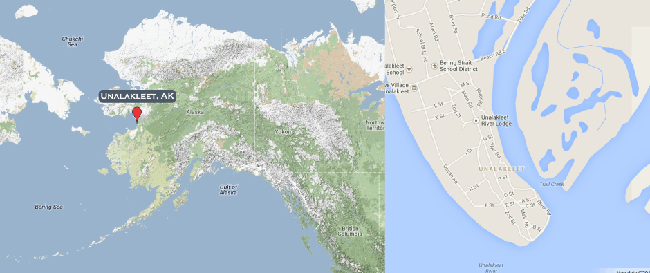
City and Harbor (Wikipedia)
Unalakleet, an adaptation of the Iñupiaq word "Una-la-thliq",[3] which means "from the southern side". Some Unalakleet residents were mistakenly told it meant "where the east wind blows". Unalakleet is located on the Norton Sound of the Bering Sea at the mouth of the Unalakleet River, 148 miles (238 km) southeast of Nome and 395 miles (636 km) northwest of Anchorage. Unalakleet has a subarctic climate with considerable maritime influences. Winters are cold and dry. Average summer temperatures range 47 to 62 °F (8 to 17 °C); winter temperatures range from −40 to 11 °F (−40 to −12 °C). Precipitation averages 14 inches (360 mm) annually, with 41 inches (100 cm) of snow. Unalakleet is known in the region and around Alaska for its salmon and king crab harvests; the residents rely heavily on caribou, ptarmigan, oogruk (Bearded Seal), and various salmon species. Unalakleet is also known for its aesthetic value, as it resides right next to the Bering Sea, immediately next to a large, clean river (Unalakleet River) and has trees, tundra, and hills behind it. Unalakleet does not have a designated harbor and residence use the bank of the protected waters of the inland river channel as moorage for their boats and skiffs. Local residence use the vessels for substance, transportation, and pleasure and in conjunction with ATVs provide a crucial means of access to the surrounding area.